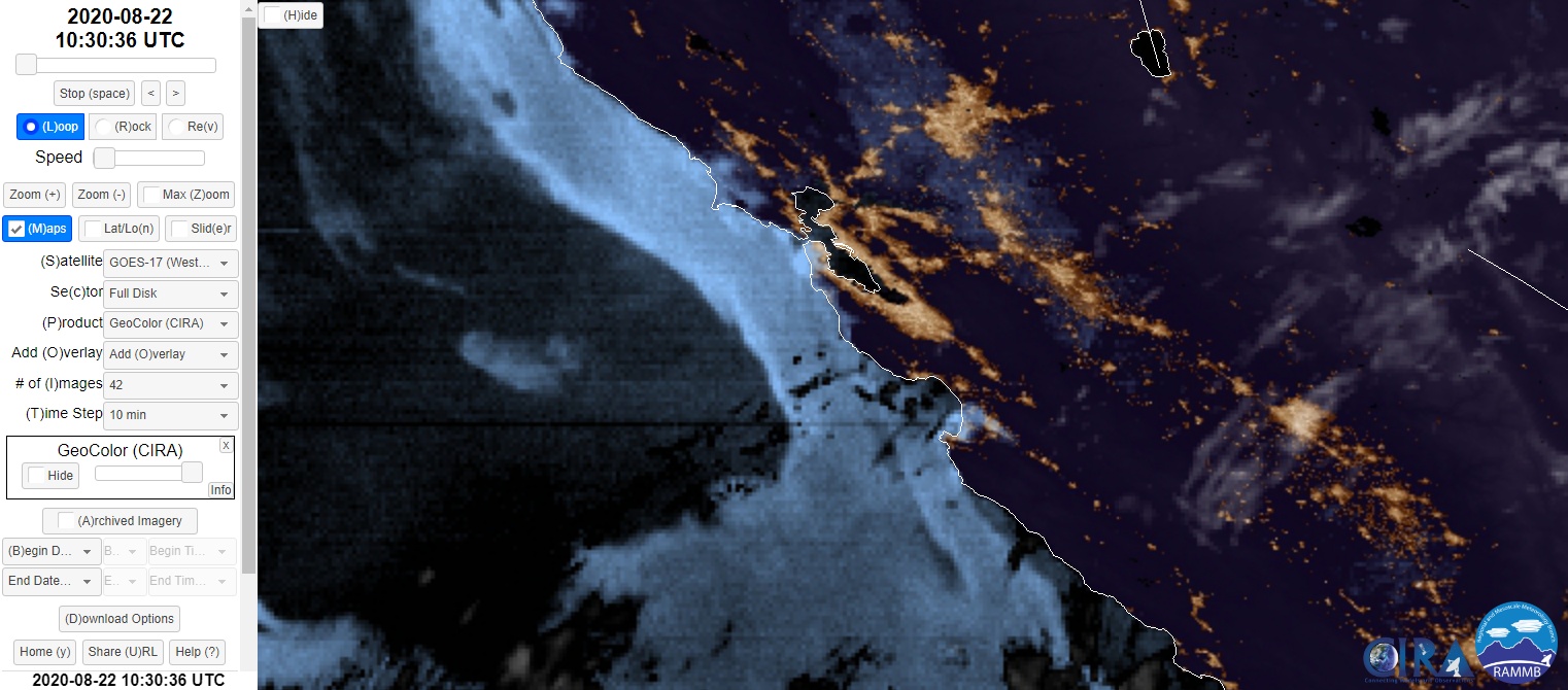
Satellite Imagery CZU August Lightning Complex Fire
Colorado State’s Regional and Mesoscale Meteorology Branch (RAMMB) Slider.
From the RAMMB Colorado State University web page: The Regional and Mesoscale Meteorology Branch (RAMMB) of NOAA/NESDIS conducts research on the use of satellite data to improve analysis, forecasts and warnings for regional and mesoscale meteorological events. RAMMB is co-located with the Cooperative Institute for Research in the Atmosphere (CIRA) at Colorado State University in Fort Collins, CO.
RAMMB hazard detection research focuses on improvements in the detection and discrimination of atmospheric hazards such as fog-stratus, blowing dust, volcanic ash, and smoke from fires. Focus is on image products and quantitative values that may be derived from those image products. In particular, emphasis is on the capabilities that can be applied to current GOES as well as the Advanced Baseline Imager (ABI) to be available on GOES-R in about 2015. Data used to develop Hazard Detection products includes operational multi-spectral data from both current-GOES and MSG, as well as experimental data from both the MODIS and AIRS instruments on EOS. Tools used in the generation of Hazard Detection products include Principal Component Imagery (PCI) analysis of multi-spectral imagery and both true-color (red-green-blue, RGB) and other three-color combinations of spectral bands or PCIs.
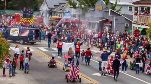
The San Lorenzo Valley Post is your essential guide to life in the Santa Cruz Mountains. We're dedicated to delivering the latest news, events, and stories that matter to our community. From local government to schools, from environmental issues to the arts, we're committed to providing comprehensive and unbiased coverage. We believe in the power of community journalism and strive to be a platform for diverse voices.