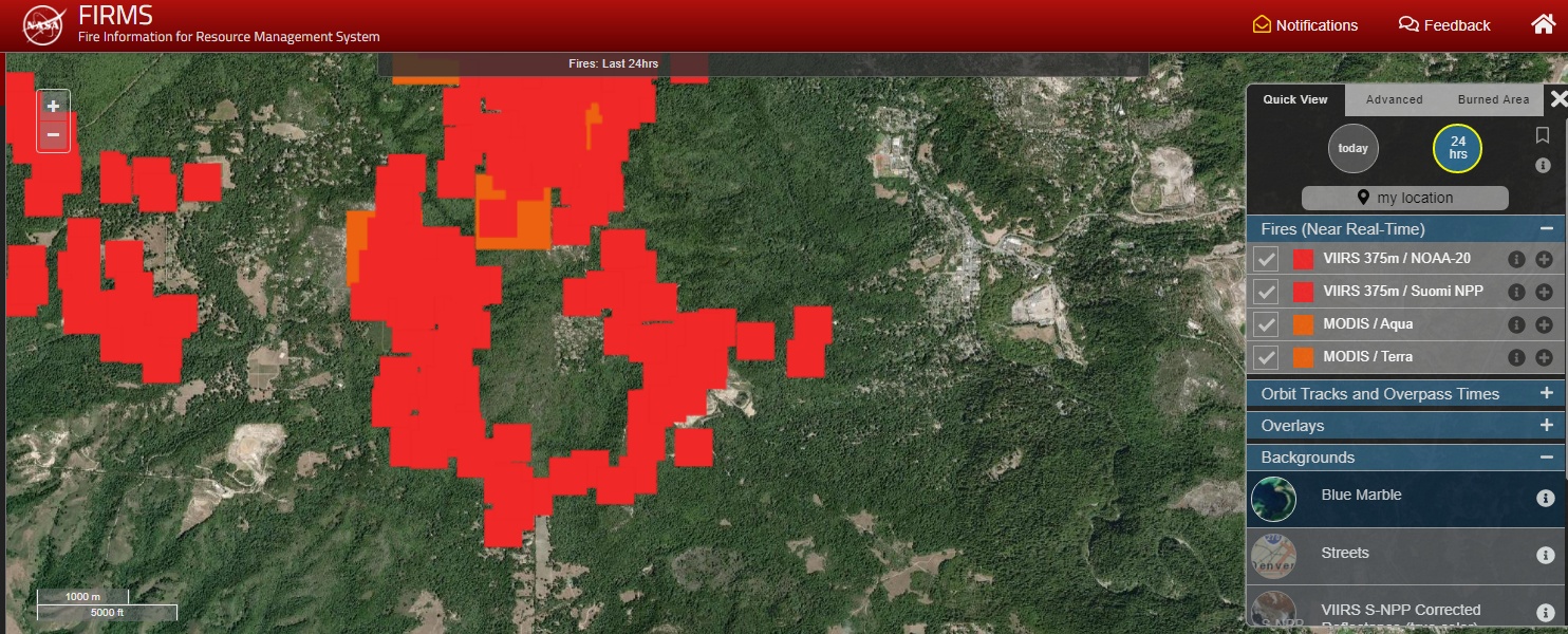
NASA’s Fire Information for Resource Management System
NASA’s Fire Information for Resource Management System (FIRMS) – Fire map, active fire data.
From the website:
The Fire Information for Resource Management System (FIRMS) distributes Near Real-Time (NRT) active fire data within 3 hours of satellite observation from both the Moderate Resolution Imaging Spectroradiometer (MODIS) and the Visible Infrared Imaging Radiometer Suite (VIIRS).
The active fire / hotspot data can be viewed in FIRMS Fire Map or in NASA’s Worldview , delivered as email alerts or downloaded in the following formats: SHP, KML, TXT, WMS
FIRMS is part of NASA’s Land, Atmosphere Near real-time Capability for EOS (LANCE).
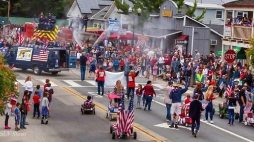
The San Lorenzo Valley Post is your essential guide to life in the Santa Cruz Mountains. We're dedicated to delivering the latest news, events, and stories that matter to our community. From local government to schools, from environmental issues to the arts, we're committed to providing comprehensive and unbiased coverage. We believe in the power of community journalism and strive to be a platform for diverse voices.