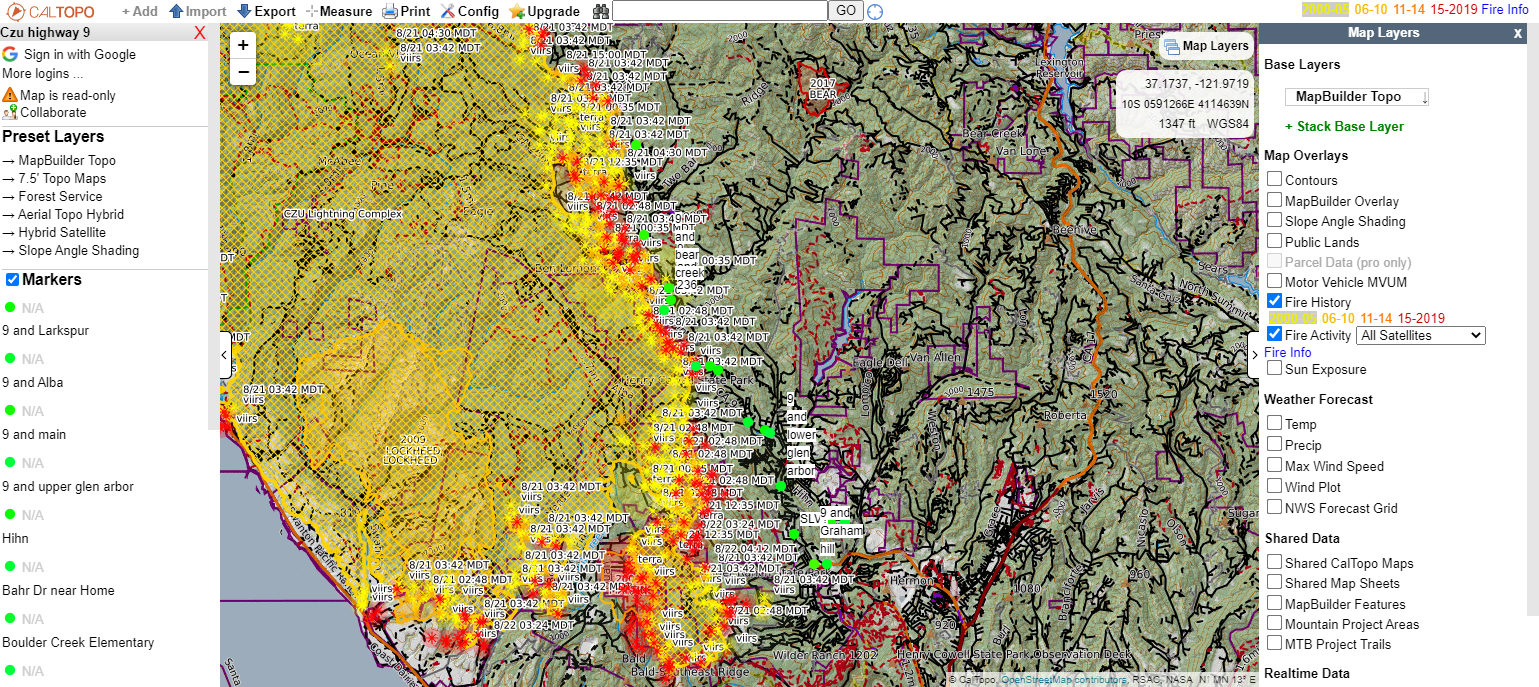
CALTOPO CZU Fire Map Highway 9
View the map here: CALTOPO Highway 9 Fire Map
From the CALTOPO.com website:
CalTopo is the creation of Matt Jacobs as a solution to some challenges facing search and rescue members. Matt recognized some of these problems as a member of a search and rescue organization in the San Francisco Bay area in 2010. CalTopo was launched as a tool to integrate several layers of mapping information with tools searchers needed to use such as drawing objects onto maps, working in multiple coordinate systems, and several highly specific applications such as viewshed analysis for radio and cell phone locations, these features spun off to SAR Topo name as popularity of CalTopo as a backcountry planning tool for recreationalists increased.
CalTopo maps and tools are frequently used now nationwide and internationally by first responders as well as recreationalists to plan, navigate and return home safe from their backcountry adventures. What started as a hobby project in 2010 has now become a small and growing company. Matt began working full time on CalTopo in 2017 and has added several employees over the years since.
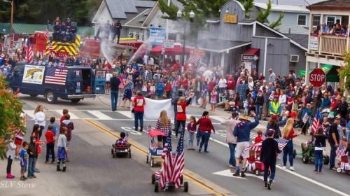
The San Lorenzo Valley Post is your essential guide to life in the Santa Cruz Mountains. We're dedicated to delivering the latest news, events, and stories that matter to our community. From local government to schools, from environmental issues to the arts, we're committed to providing comprehensive and unbiased coverage. We believe in the power of community journalism and strive to be a platform for diverse voices.