From Denial to Grief and Gratitude
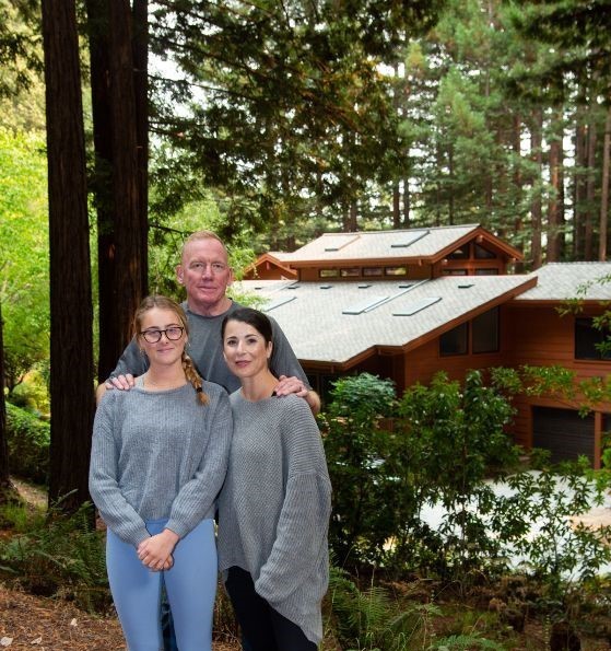
A firsthand perspective on surviving a fire that “couldn’t happen” By Jayme Ackemann Every fire evacuation isn’t as dramatic as those middle-of-the-night knocks our neighbors in Boulder Creek got, but mine was every bit as terrifying. The CZU Lightning Complex fire evacuation order came down for Ben Lomond, the San Lorenzo Valley town where I live, on August 18. It…
Read More