
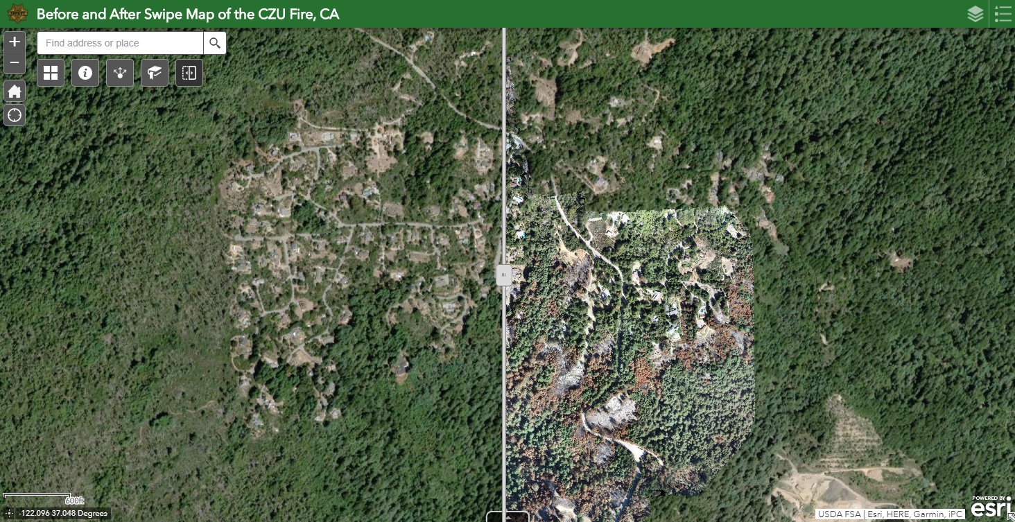
Sheriff’s Dept Releases Before & After Drone Imagery #CZUFire
The Santa Cruz County Sheriff’s Office Unmanned Aerial System (UAS) Team has released before and after drone imagery of the CZU Lightning Complex Fire burn zone. Multiple Bay Area law enforcement agencies contributed to the mapping project. View the Before/After Swipe Map here: https://arcg.is/1OWbb5 CZU Fire 360 Panoramas Map: https://arcg.is/05GDab
Read More