PG&E Helicopter Activity in the Santa Cruz Mountains
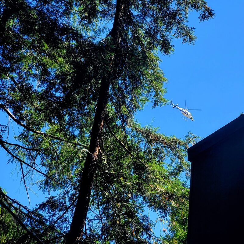
Pacific Gas and Electric Company (PG&E) has responded to multiple queries regarding the low-flying helicopter activity that began on Monday in the Santa Cruz Mountains. The utility is surveying power lines using Light Detection and Ranging (LiDAR) technology. The activity will continue through August 22 according to a spokesperson.
In a press statement, PG&E’s Communications Representative Mayra Tostado said, “The surveys are to collect more data on PG&E’s power lines, poles, and their surrounding environment in high-fire threat areas. The LiDAR helicopter surveys will help gather information for PG&E’s mapping system by capturing imagery that can be analyzed to take measurements, reveal patterns, and identify any potential risks.”
The inspections are related to fire safety standards for the power lines during high fire risk weather conditions.
In the Santa Cruz Mountains, given the hilly terrain, the helicopters have been flying at altitudes between 100 and 500 feet.
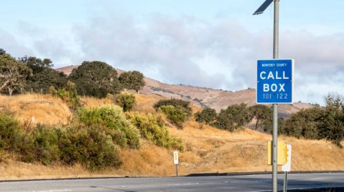
For more information on the helicopter surveying work, residents can call 877-295-4949 or email PG&E at wildfiresafety@pge.com.
Photo by Thomas Andersen
The San Lorenzo Valley Post is your essential guide to life in the Santa Cruz Mountains. We're dedicated to delivering the latest news, events, and stories that matter to our community. From local government to schools, from environmental issues to the arts, we're committed to providing comprehensive and unbiased coverage. We believe in the power of community journalism and strive to be a platform for diverse voices.